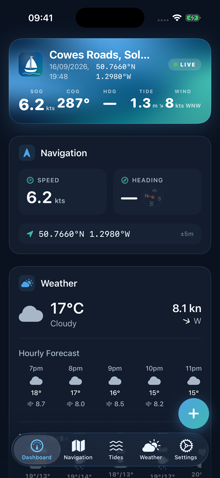
🧭 Your live dashboard
- Open the app to the Dashboard tab.
- See live speed, course, tide & wind for your position.
- Tap any card to jump to its full screen.
Yarely is a complete sailing companion across iPhone, iPad, Apple Watch and the web: log passages underway, feel alarms on your wrist, and plan routes from any screen — every change synced privately with your Apple ID.
Every skipper knows the ritual: the almanac, three weather apps, a chart, and a damp notebook — none of them talking to each other, none of it with you when you're away from the boat.
High water is in the almanac at the nav station. Your draft calculation happens on a scrap of paper — if it happens at all.
Wind in one app, radar in another, none of it overlaid on the chart you're actually planning on.
The marina's VHF channel, the shallow patch by the entrance, which pontoon to call — pilotage wisdom that never survives the season.
Work on whichever screen is to hand. Every change flows to all the others.
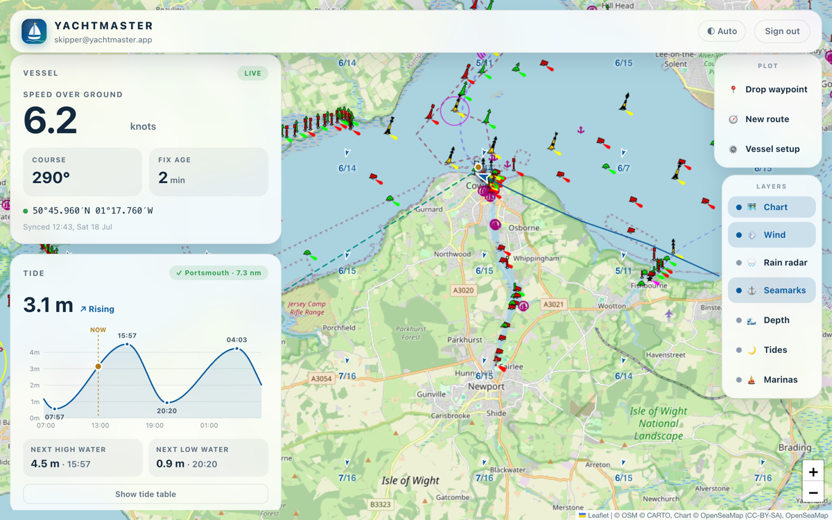
Plot routes and drop waypoints right here in the browser — check tides, depths and marinas from the comfort of home, ready before you step aboard.
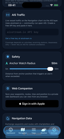
Sign in once with your Apple ID. Waypoints, routes, trips and position sync both ways and privately — no accounts to invent, nothing shared with anyone.
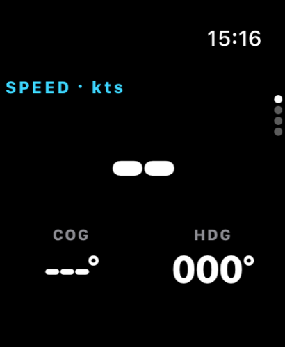
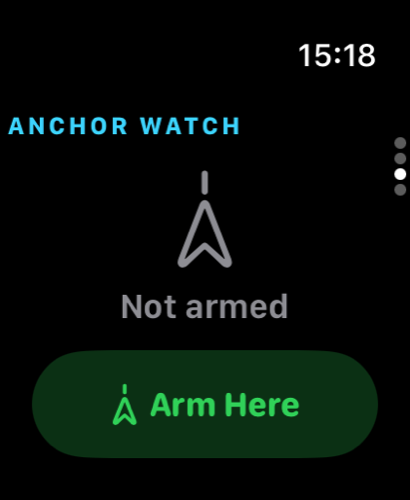
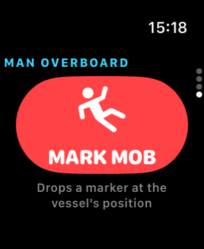
Everything is waiting on board: the iPhone and iPad log your track, speed and trips; the Watch puts SOG, steer-to arrows, anchor watch and a man-overboard button on your wrist.
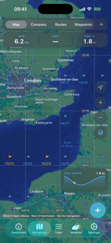
Your vessel's position, course and 48-hour track on a proper nautical chart — on iPhone, iPad and right here in the browser, with waypoints and routes synced between them all.
Switch the map to real nautical raster charts — seamarks, lights and buoyage from OpenSeaMap. Streamed on the web, downloadable by region on iPhone and iPad for offline plotting with no signal at all.
Ships around you as classic plotter targets — green triangles on course, name, speed and heading a tap away. Community-run open AIS via your free aisstream.io key.
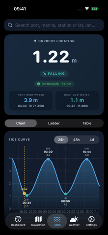
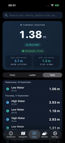
Interpolated tide curves with high/low water times from the nearest official station, worldwide. Search any port, marina, tide station or lat/lon and scrub the curve with a finger to read the height at any moment.
Set your draft once. Tap any berth or anchorage and see exactly when there's enough water under the keel — charted depth plus the tide, hour by hour.
Touch any patch of water for the full picture: position, range and bearing from the boat, tide now and next, charted depth and local wind — then save it as a waypoint with one more tap.
Matching layer toggles on every screen: live wind fields with gusts, rain radar, seamarks, depth contours, tide stations and marinas — the picture you actually plan a passage with.
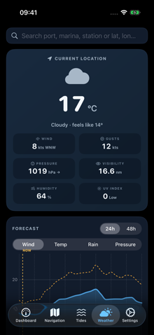
Interactive forecast charts you can scrub: wind with its gust envelope, temperature, rain and pressure trend — for your position or anywhere you search.
Arm it from phone, watch or wrist. If the boat drags outside your swing circle, the alarm reaches a locked phone — and taps you awake on your Apple Watch.
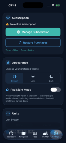
One switch turns the whole app — charts, sheets and all — into shades of red that preserve night vision at the helm, the way astronomy apps do it.
A searchable worldwide marina catalogue with facilities, VHF and contacts, your own pilotage notes synced between web and boat, and one-tap "set as destination".
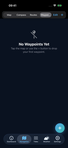
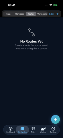
Plot routes on any screen, drag waypoints to refine them, and everything syncs both ways. GPX import and export keeps your data portable to any other navigation kit.
One layout for the helm: instruments on the left, layers on the right, the chart everywhere else.
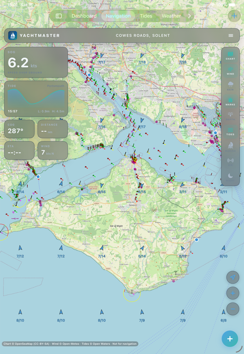
Real OpenSeaMap charts with buoyage and lights, live wind with gusts, tide stations and AIS — flicked on and off from the layer rail while SOG, tide and ETA hold the left column. Downloaded regions keep working offshore with no signal at all.
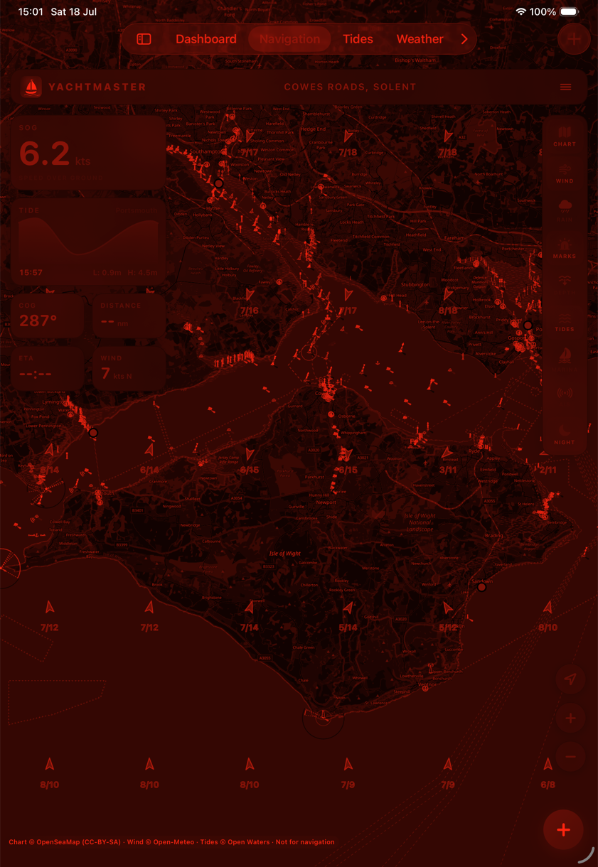
One tap on the NIGHT toggle and the whole app — chart, instruments, sheets and all — renders in shades of red with the chart inverted dark, the way astronomy apps protect your eyes. Night vision stays intact for the watch; daylight colours return with a tap.
That's the question that actually decides a passage. Yarely answers it in one card: the charted depth at the berth, your draft and safety margin, and the tide — combined into the hours you can safely enter.
Tap "set as destination" and the marina drops into your routes and the app's passage plan on iPhone and iPad — ETA, daylight check and tide on arrival — with your own pilotage notes attached.
Speed over ground from the watch's own GPS, a steer-to arrow for the active waypoint, anchor watch with haptic drag alarms, and a man-overboard button you can hit with a gloved fist.
No passwords to invent, no email lists. Your Apple ID is the account, and Apple never shares more than you allow.
One tap in the app permanently deletes your account and every synced waypoint, trip and position from our servers.
Tides from Open Waters — harmonic predictions from official station networks (TICON‑4, NOAA) worldwide. Depths from EMODnet surveys. Weather from national forecast models. Attributed, always.
If real data isn't available — no tide station in range, say — we show nothing rather than a guess. Anything indicative is badged as such, in amber, on the data itself — never buried in small print.
A public board where skippers ask questions, help each other, and the developer posts release notes — no account needed to browse.
Questions, feature ideas, marina corrections, or just where you sailed this weekend — messages land straight with the skipper who builds Yarely.
Sailing with Yarely? Tell us about your boat and how you sail in the field below — it helps us build for real crews in real conditions.
Sign in with your Apple ID and your chart table is already set.
Sign in with AppleThe web companion is included free with an active Yarely subscription. Start your 3-day free trial or subscribe in the Yarely app on your iPhone, then reload this page.
Sign out
Ask a question, help a fellow skipper, or catch up on what's new — answered by the developer and the community.
Quick walkthroughs for the iPhone & iPad app.
▾
No topics yet — be the first to ask.